
No. 012026-10-05
The Hu Huanyong Line: a diagonal drawn ninety years ago
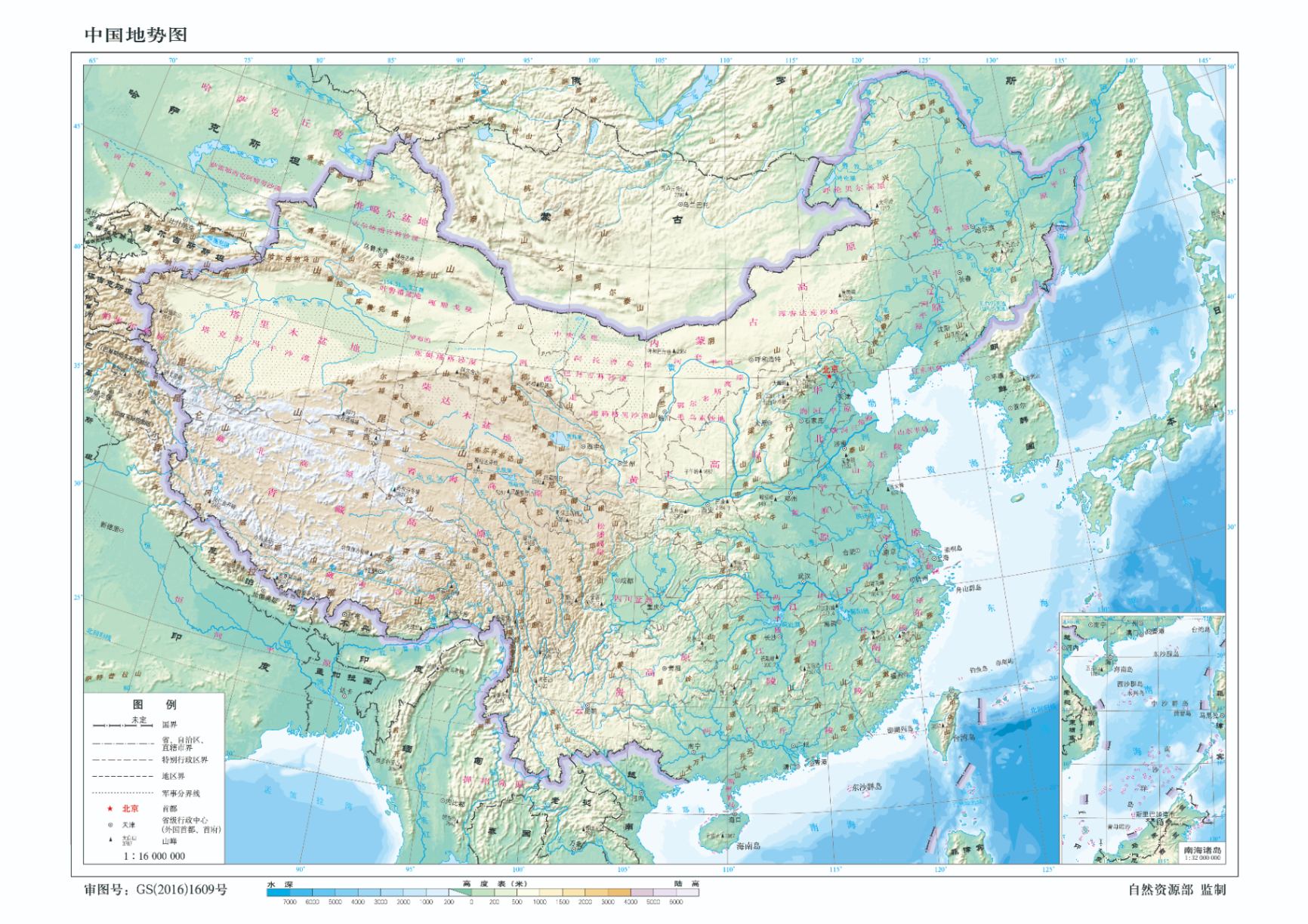
In 1935 the geographer Hu Huanyong drew a straight line between Heihe and Tengchong: southeast of it, about 36 percent of the land held about 96 percent of the people; northwest of it, 64 percent of the land held 4 percent. Ninety years on, the ratio has barely moved.
It has been called "the most famous line in Chinese geography." Climate change, urbanization and migration have failed to shift it significantly — the distribution of rainfall decides where people can live, and what people can change is, in truth, not much.